How to Plan a White-Tailed Deer Hunt
Research status: Reviewed August 21, 2026. This guide summarizes planning information and links to official agencies; it is not legal advice or firsthand field testimony. Regulations, quotas, disease zones and access can change. Verify every rule before applying or hunting.
White-tailed deer hunt planning is a sequence: confirm the legal opportunity, secure access, understand the property, protect the wind, and build a recovery plan before opening day. A famous county cannot rescue the wrong permit, uncertain permission or an entry route that broadcasts scent through the cover.
1. Identify the exact deer and legal animal
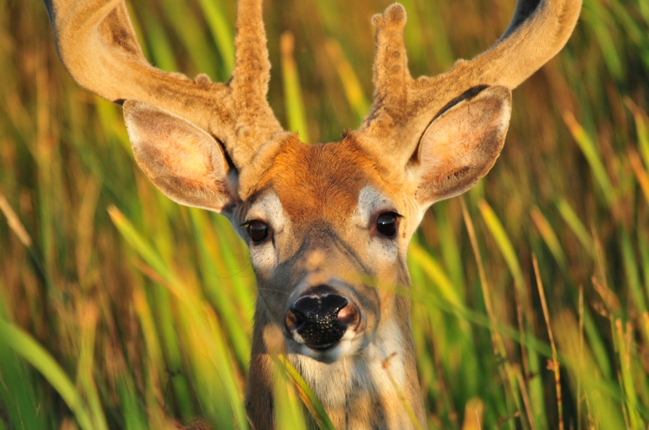
White-tailed deer are widespread across North America, but a hunter still must identify the species and the state’s legal-animal language. Whitetail antler tines generally rise from a single main beam; mule deer antlers typically fork. Legal buck definitions may depend on a visible antler, point length, inside spread, number of points or a county-specific antler restriction. Do not replace the regulation’s words with a field nickname.
2. Build the license stack from the agency outward
Write down every required layer: base hunting license, habitat or conservation stamp, deer permit, antlerless authorization, controlled-hunt selection, public-land validation and harvest record. Then record the geographic boundary, season, weapon, sex and expiration for each document. A valid license can still be unusable for the planned county, unit, property or animal.
| Decision | Question to answer |
|---|---|
| Permit pathway | Guaranteed purchase, lottery, preference point, quota, leftover or landowner-only? |
| Boundary | Statewide, zone, county, wildlife management unit or named property? |
| Legal animal | Antlered, antlerless, either sex, special antler restriction or youth-only? |
| Method | Archery, crossbow, muzzleloader, shotgun, rifle or property-specific restriction? |
| Reporting | Immediate tag, phone or online check, physical station, sample submission? |
3. Treat access as a hunt component
Private permission, a lease and public land are different operating models. On private ground, get clear permission and learn boundaries, livestock locations, vehicle rules and recovery expectations. On public land, read the named property’s fact sheet or special regulations, not just the statewide digest. Verify parking, walk-in boundaries, sign-in, weapon limits, safety zones, refuge closures and whether a controlled hunt displaces the general season.
Map at least two legal approaches for different winds. Check property lines at pinch points, road rights-of-way and river crossings. Offline maps are helpful, but they do not grant access or override a sign, closure or agency map.
4. Read habitat at the property scale
Whitetails use forest edges, brush, creek corridors, river bottoms, cutovers, mast-producing hardwoods and agricultural fields, but the useful question is where food, security cover and low-risk movement connect on this property during this season. Early-season patterns may center on predictable food and summer bedding. As crops change and pressure rises, deer can shift into thicker or less convenient cover. During breeding periods, buck movement can expand, but wind and pressure still control daylight opportunity.
A three-layer map review
- Landscape: food sources, large cover blocks, water, roads and neighboring pressure.
- Property: bedding cover, funnels, terrain, legal entries and places people avoid.
- Setup: wind direction, thermals, shooting lanes, backstop, detection risk and recovery route.
5. Make wind and access the same decision
A stand may be downwind of the expected trail while the approach sends scent across the bedding area. Evaluate the entire scent path from parking to exit. In rolling terrain, evening thermals can fall toward creek bottoms; in open farm country, wind shifts can expose a narrow shelterbelt. Establish a no-go wind for every setup and a quiet exit if deer remain in the field after legal light.
6. Match equipment to the real shot and recovery
Confirm legal equipment first. Then match the setup to distance, shooting angle, vegetation and the ability to hold steady. Range key landmarks before deer arrive. For archery, account for branches, steep angles and broadhead clearance. For firearms, identify a safe backstop and remember that property boundaries and nearby roads matter beyond the target.
Carry the tools that support the whole process: license and identification, navigation with backup power, wind indicator, rangefinder where legal, headlamp, marking material, first-aid supplies, field-dressing tools, gloves, game bags or clean transport material, and enough capacity to recover the animal without abandoning required tagging or check-in steps.
7. Pre-plan the recovery decision
After the shot, mark the animal’s location and the last place seen. Note direction of travel and resist replacing evidence with confidence. Follow state rules for tracking devices and dogs. If the sign suggests a marginal hit, choose a wait time based on the evidence and legal hours, not impatience. Permission to hunt one parcel may not include permission to cross onto another during recovery.
Once recovered, complete tagging and reporting at the required time. Cool the meat quickly, keep it clean, and know where processing, CWD sampling and legal disposal will occur. In warm southern seasons, a cooler and processor plan may matter more than cold-weather camp gear.
8. CWD and carcass movement are part of route planning
Chronic wasting disease is a fatal prion disease of deer-family animals. Disease zones, mandatory sampling, baiting restrictions and carcass-transport rules can change. Check both the hunt state and the destination state before moving a head, spinal column or intact carcass. When required or prudent, identify a sampling location and a processor able to bone out or hold meat pending results.
The 72-hour verification
- Reopen the current regulations and emergency notices.
- Confirm permit, property, season, legal method and legal animal.
- Verify access, parking, closures and fire or weather restrictions.
- Download maps and save agency contact numbers.
- Check CWD, reporting, tagging and carcass-transport rules.
- Share the hunt plan and expected return time with a reliable contact.
Choose the state system
Continue to the White-Tailed Deer Hunting hub for Iowa, Illinois, Kansas, Missouri, Wisconsin, Ohio, Kentucky, Pennsylvania, Texas and Georgia. Then use Maps & Apps, Gear and the Big-Game Meat Care Kit to finish the execution plan.