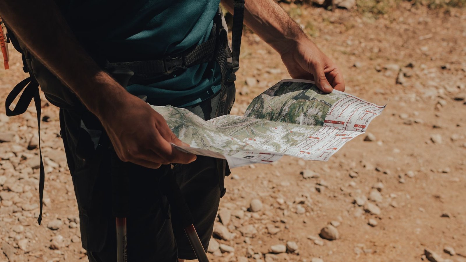
Terrain before waypoints
Use maps to ask better questions.
Research-led map reading for verifying access, understanding terrain, measuring routes, forming habitat hypotheses, and planning a realistic return.
What this section covers
Access
Hunt boundaries, ownership, legal entry, travel management, closures, and the sources that control each question.
Terrain
Contours, aspect, drainages, ridges, benches, saddles, distance, elevation, and route difficulty.
Validation
Offline redundancy, decision points, field checks, and correcting hypotheses when the ground disagrees with the screen.
Locations deserve protection
Published examples will respect provider terms, private access, sensitive wildlife areas, and specific hunting locations. Learn more in our Editorial Policy.
A map organizes uncertainty; it does not guarantee animals, access, road conditions, or safety.
Watch · Learn · Verify
Map-reading video library
Work through these lessons in order to move from contour-line basics to hunting terrain, digital scouting, offline preparation and a non-phone navigation backup. Each video is an external educational resource selected for clarity and relevance.
Editorial note: Inclusion is not an endorsement, and product demonstrations may change as an app is updated. Wildlife-agency boundaries, land-manager records, posted closures, private-land permission and current regulations control legal decisions.
1. Learn what contour lines say about the ground
How to Read a Topo Map — REI. Begin with contour lines, elevation and slope. The goal is to translate a flat map into a mental picture of steep and gentle terrain before choosing a route.
2. Recognize terrain features hunters discuss
Using Topographic Maps to Identify Terrain Features — onX Hunt. Connect the contour pattern to knobs, finger ridges, creek bottoms and water sources. Treat each feature as a scouting hypothesis that still needs access, habitat and field verification.
3. Build a digital scouting workflow
How to Use onX Hunt for Western Big Game — onX Hunt. See how unit layers, ownership information, 3D terrain, waypoints and folders can support a written hunt plan. A convenient commercial layer does not establish legal access by itself.
4. Prepare the map to work without cell service
How to Use onX Hunt Without Cell Service — onX Hunt. Download the required area before departure and test it in airplane mode. Confirm that the correct layers, route context and alternate areas remain available when the network does not.
5. Practice the paper-map and compass backup
How to Use a Compass — REI. Learn compass parts, declination and bearings from both a map and the field. Carrying a compass is not the backup; practicing with the exact paper map before the hunt is.
Turn each lesson into a field check
- Identify the responsible wildlife agency and land manager for the exact location.
- Compare ownership, access, hunt-unit and motorized-travel information against their current sources.
- Download offline layers, then open them in airplane mode.
- Mark primary and alternate routes, decision points and a realistic return.
- Carry and practice with an independent navigation backup.
Continue with How to Read Hunting Maps and the official regulations and planning library.
Put the map into a complete hunt plan
Map work becomes useful when it supports a specific species, state system, access question, route, and backup plan. Use these starting points to move from screen research into a documented hunt plan.
Elk planning
Connect terrain, access, elevation and recovery to the elk hub and beginner’s planning guide.
Mule deer planning
Connect glassing positions, seasonal range, access and recovery to the mule deer hub and beginner’s planning guide.
Pronghorn planning
Connect ownership, legal roads, water and low terrain folds to the pronghorn hub and beginner’s planning guide.
Moose planning
Connect wet ground, water access, dense cover and extraction routes to the moose hub and beginner’s planning guide.
White-tailed deer planning
Connect property boundaries, access, habitat edges and wind to the white-tailed deer hub and beginner’s planning guide.
Black bear planning
Connect legal access, habitat, travel routes and recovery to the black bear hub and beginner’s planning guide.
Official sources: Open the regulations and planning library for state agencies, land managers and the sources that control current decisions.
Next step: combine the map with the western hunt-planning framework and the complete Gear checklist.