Nebraska Pronghorn Hunt Planning Guide (2026)
Last reviewed: August 21, 2026. Regulations, quotas, access and fees can change. Verify every decision with the current agency guide before applying or traveling.
Editorial note: This is a research-based planning guide, not a firsthand hunt report. It contains no affiliate links and does not promise drawing success, animal size or access.
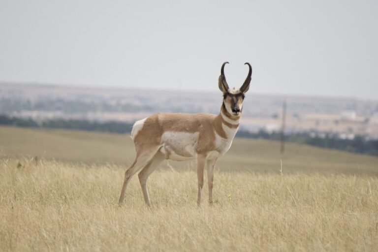
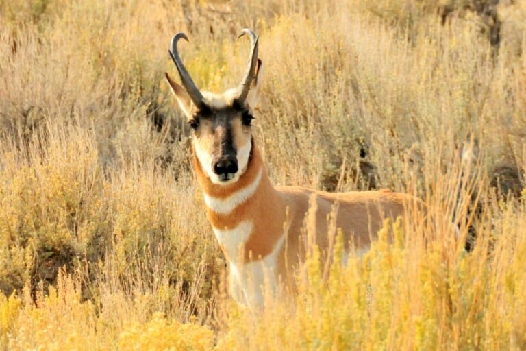
A Nebraska pronghorn hunt centers on western grassland, Sandhills margins and private-land permission. The planning path is unusually residency-sensitive: resident firearm and muzzleloader opportunities differ from the general nonresident archery path.
Nebraska pronghorn hunt at a glance
| Tag structure | A hunter may hold one Nebraska antelope permit per year. Rifle and muzzleloader either-sex permits are draw permits with specific eligibility; archery rules differ by residency. |
|---|---|
| 2026 application timing | For 2026, landowner applications ran May 18–29 and the general draw ran June 1–12. Resident purchase began July 8, nonresident purchase July 22, and remaining permits became available August 5, subject to inventory. |
| Primary planning risk | Applying for a hunt before confirming boundaries, legal access, weapon rules and realistic travel logistics. |
| Best official starting point | Use the current state regulations, draw portal and official mapping resources linked below. |
How the Nebraska tag system works
Nebraska uses preference points for applicable draw permits. The highest point totals are considered first; drawing a permit can clear points even when it was a second choice. Nonresident general opportunity is primarily the statewide archery draw, limited to 250 nonresident archery tags under the 2026 guide.
The 2026 seasons are archery August 20–December 31, muzzleloader September 19–October 4, firearm October 10–25, and late doe/fawn November 1–January 31, subject to the permit. Bessey Ranger District and Fort Robinson have special weapon/access restrictions—read the guide before treating them as normal public land.
Before submitting, save a screenshot or PDF of the hunt code, season, legal animal, weapon restriction and application receipt. The hunt number is the contract; a familiar unit name or an online recommendation is not enough. If a correction notice appears after the guidebook is published, the agency correction controls.
Build the application around access
Use the Nebraska Public Access Atlas and official unit maps, then confirm private permission and special-area regulations. Draw units include Banner, Box Butte, Cherry, Cheyenne, Dismal, Eastern Sandhills, Garden, North Sioux and others with subdivisions or permit-specific boundaries.
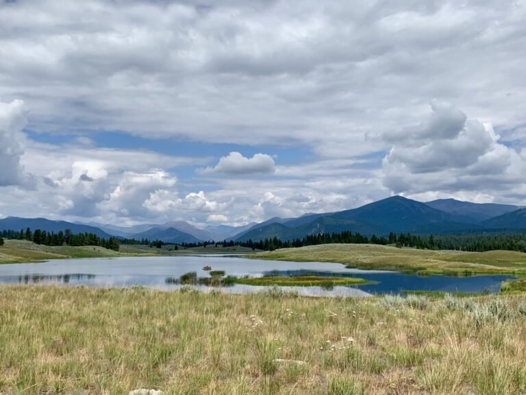
Western Nebraska mixes shortgrass prairie, agricultural edges, badlands and Sandhills country. Wind and open sight lines favor disciplined glassing, but public access is scattered and legal parking deserves its own map layer.
A practical pre-application map should include the hunt boundary, land ownership, roads, gates, walk-in or access-program parcels, water, glassing points and at least two legal entry routes. Call the land manager or landowner when a road or corner is ambiguous. Digital ownership layers are planning tools, not legal permission.
A six-step unit-screening method
- Confirm eligibility. Check residency, license prerequisites, age or hunter-education rules, waiting periods and group limits.
- Read the exact hunt description. Match hunt number, legal animal, dates and weapon.
- Study real draw data. Compare several years when the agency publishes them; one unusually easy or difficult year can mislead.
- Measure usable access. Count legal entry points and connected public acreage rather than total acreage inside a boundary.
- Plan the trip. Include fuel, lodging or camping, vehicle range, meat care and a weather alternative.
- Choose deliberately. A lower-odds hunt with verified access can be a better application than a famous hunt with no workable route.
Scouting open-country pronghorn
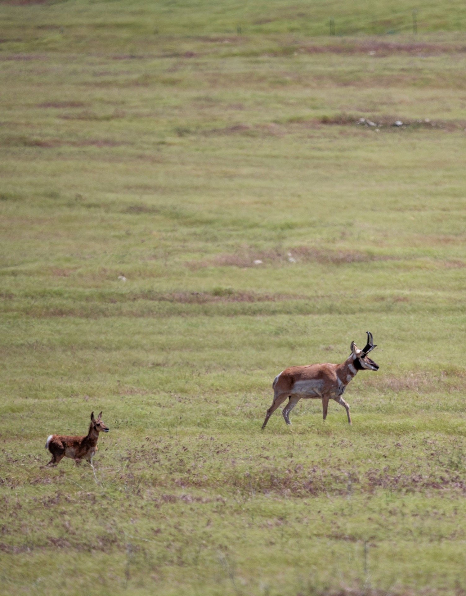
Start with broad terrain rather than a single waterhole. Pronghorn can relocate when forage dries, livestock rotates, roads become busy or hunting pressure increases. Glass at first light, check the same basin from more than one angle, and record where animals cross fences or disappear behind subtle folds.
- Mark groups by time and wind instead of assuming they remain in one field.
- Identify the nearest legal parking point and a concealed approach before evaluating shot distance.
- Recheck access immediately before the season; closures and landowner instructions can change.
- Keep a backup basin or permission property in a different part of the hunt area.
Field strategy: visibility changes the problem
Pronghorn see movement at remarkable distance. A successful approach usually uses a ridge, drainage, cut bank or rolling fold to hide the hunter long before the final position. Drive-by spotting may locate animals, but leaving the vehicle without a route often turns a promising sighting into a long chase.
Wind also affects both approach and shot execution. Build a stable rest, range more than one landmark and wait for a calm cycle. Ethical distance depends on the hunter, weapon, conditions and verified practice—not on what another hunter reports online.
Gear that earns its place
- Binoculars carried on the body, plus a cleaning cloth for dust.
- A tripod or other stable glassing support for judging distant animals.
- An offline mapping app with current land layers, plus a paper or exported backup.
- Rangefinder, wind checker and a tested field rest appropriate to the legal weapon.
- Sun protection, layered clothing and enough water for an unplanned delay.
- Tire repair, inflator, full-size spare and recovery basics for remote roads.
- A compact meat-care kit sized for warm, exposed country.
Budget categories to price before applying
Do not use last year’s forum post as a budget. Price the current license, application fee, tag, point fee if applicable, conservation or habitat stamp, payment-card timing, travel, lodging, fuel and land-access costs directly from official sources. Add a contingency for a second scouting trip, tire damage and a longer meat-cooling drive.
Final planning checklist
- Current license and hunter-education prerequisites confirmed
- Exact hunt number, legal animal, season and weapon saved
- Draw or point rules understood
- Two legal access routes mapped
- Private permission documented where needed
- Closures, fire restrictions and road status rechecked
- Offline maps, emergency contact and vehicle plan complete
- Optics, field rest and realistic distances tested
- Meat cooling and transport planned for warm weather
- Reporting or check-in requirement saved on the calendar
Official Nebraska resources
- Nebraska antelope hunting
- Big-game permits and applications
- Permit and stamp requirements
- 2026 Big Game Guide
- Hunting seasons
- Public Access Atlas
Next: Compare this state with every published option in the Pronghorn Hunting Hub, or return to Hunts & Adventures.