Public-Land Elk Hunting in White River National Forest: Planning Guide
White River National Forest elk hunting is a license-and-access problem before it is an elk-location problem. The forest covers about 2.3 million acres across five ranger districts, but its federal boundary does not match one Colorado game management unit, one elk herd or one license. A workable public-land plan has to align the exact hunt code with the GMU, legal access, current travel rules and a realistic recovery route.
Reviewed September 7, 2026. This guide uses current Colorado Parks and Wildlife and U.S. Forest Service planning resources. License rules, hunt codes, dates, quotas, roads, fire restrictions, closures and camping orders can change. Confirm the exact hunt with the current Colorado Parks and Wildlife elk page, the current Colorado Big Game brochure and the responsible Forest Service ranger district before applying, purchasing or traveling.
Research disclosure: Big Game Ledger does not present this article as firsthand White River National Forest hunting experience. It organizes official agency material into a practical research workflow. It does not identify a secret spot, recommend a “best unit,” predict draw results or guarantee elk, access, road conditions or hunting success.
Start by separating three different White River boundaries
Three labels can sound interchangeable even though they answer different questions.
| Planning layer | What it controls | Official starting point |
|---|---|---|
| White River National Forest | National Forest System ownership, ranger districts, roads, trails, camping, Wilderness and forest orders | U.S. Forest Service |
| Colorado GMU and hunt code | Where a license is valid, season, method of take and legal animal | CPW elk licensing and the current brochure |
| CPW E-6 White River elk herd | A Data Analysis Unit used for herd-management objectives and seasonal-range context | CPW elk herd management |
The E-6 herd is not another name for every elk living somewhere inside White River National Forest, and it is not a license area by itself. CPW explains that a Data Analysis Unit can include several GMUs and represents the year-round range of a herd. The national forest extends across a broader landscape. Use herd material for management context, then return to the exact GMU and hunt code for legal decisions.
What public-land elk hunting here actually means
The Forest Service describes White River as roughly 2.3 million acres of public land in the Colorado Rockies, organized across the Aspen-Sopris, Blanco, Dillon, Eagle-Holy Cross and Rifle ranger districts. It also contains eight designated Wilderness areas covering more than one-third of the forest. That scale creates many possible trip styles, but it does not create one forest-wide elk license or one access rule.
Public ownership is only one part of access. National-forest blocks can contain or border private inholdings, and a public parcel may be cut off by a private approach, seasonal gate, road closure or Wilderness boundary. A green federal layer on a phone is not proof that the route is legal, open or passable.
Set the legal hunt before choosing a trailhead
Write down the controlling license details before opening a terrain map:
- resident or nonresident status;
- the complete hunt code or exact over-the-counter product;
- method of take and season;
- bull, cow, either-sex or other legal-animal restriction;
- the GMU or unit group where the license is valid;
- hunter-education, qualifying-license, habitat-stamp and application requirements; and
- draw, payment, surrender, leftover or reissue deadlines that apply to that license.
CPW separates limited licenses from over-the-counter licenses. Limited licenses are allocated by hunt code and may be issued through the primary draw, secondary draw or later availability. OTC licenses are not quota-limited, but they are still restricted by unit, season, method and legal animal. “Over the counter” does not mean every public parcel in the forest is open under that license.
For 2026, CPW also states that nonresidents can no longer buy OTC archery elk licenses for GMUs west of Interstate 25 or GMU 140; those western opportunities moved to limited hunt codes, with narrow OTC archery opportunities remaining east of I-25. That is a dated 2026 rule, not a promise for a later year. Check CPW’s current nonresident guidance and hunt-code tables before building an archery trip.
Build the map stack in the right order
- License boundary: Confirm the hunt code and GMU on the current CPW map.
- Ownership: Separate National Forest System land from private, state, BLM, municipal and other parcels.
- Legal approach: Trace the entire route from a public road to the parcel without assuming access across private land.
- Motorized travel: Check the current Motor Vehicle Use Map for vehicle class, route designation and seasonal dates.
- Wilderness and trail rules: Mark boundaries where wheels, motors and other mechanical transport are prohibited.
- Elk context: Add CPW seasonal-range and concentration layers as broad planning information, not live animal locations.
- Current conditions: Recheck forest alerts, fire restrictions, gates, weather and road conditions shortly before travel.
Start with CPW’s Where to Hunt resources and Colorado Hunting Atlas. Then use the Forest Service’s official map resources, the correct district MVUM and the White River alerts page. Save the critical map areas offline and carry a backup appropriate to the route.
The MVUM is a legal travel layer, not a road-quality promise
A White River MVUM identifies routes open to motorized use, the permitted vehicle classes and seasonal designations. Routes not authorized for a vehicle class should not be treated as open merely because another basemap displays a line. The Forest Service also cautions that a designated route may be rough, unmaintained, unsafe or temporarily closed. Snow, mud, wildfire and natural events can change a route long before a general map is updated.
Wilderness changes the pack-out calculation
White River National Forest has eight Wilderness areas. The Forest Service’s Holy Cross Wilderness guidance, for example, prohibits motorized equipment and mechanical transport, including bicycles, wagons, carts and wheeled carriers. Some Wilderness locations also have site-specific registration, camping, fire or food-storage rules.
A game cart that is legal on a road or non-Wilderness route does not become legal after crossing a Wilderness boundary. Mark the boundary before the hunt and plan a recovery using foot travel or other specifically lawful means. Do not assume that stock or commercial packing help will be available after a harvest; confirm any service and authorization in advance.
Choose a ranger district and access system—not a forest-wide hotspot
The five ranger districts contain different elevations, road systems, Wilderness boundaries, recreation pressure and weather exposure. A responsible comparison begins with a license-valid parcel, then asks whether the route and recovery fit the party. It does not begin by naming a famous drainage and trying to force a license around it.
| Comparison question | Why it matters |
|---|---|
| Does the exact license cover this parcel? | A nearby GMU line can invalidate an otherwise attractive plan. |
| Is there a continuous legal public approach? | Public land can be isolated by private property or a restricted road. |
| What does the current MVUM authorize? | Vehicle class and seasonal dates can change the usable starting point. |
| How much vertical relief is in the recovery? | Elk-sized loads turn a short map distance into several demanding trips. |
| Where will other recreation concentrate? | Trailheads, resort corridors and popular routes can change pressure and safe shooting considerations. |
| What is the weather exit plan? | Snow or mud can remove the vehicle route a plan depends on. |
Use elk information without inventing a hotspot
CPW wildlife layers and herd plans can help a hunter understand seasonal range, concentration areas, migration context and management objectives. They do not show where an elk will be on a particular morning, and they do not override ownership or access.
Use terrain to form questions. Compare elevation, slope, aspect, water, open feeding areas, security cover, recent disturbance and distance from motorized access. Then ask how the exact season, weather and human activity could change the plan. Build at least two independent access options so one gate, storm or closure does not collapse the entire hunt.
Set a recovery ceiling before scouting
Elk recovery should limit where the party is willing to hunt. Before marking a basin as viable, estimate:
- round-trip distance and total vertical gain for every load;
- the number and weight of loads the group can safely move;
- daylight, temperature and the time required to cool meat;
- water, traction, communication and overnight contingencies;
- private-property and Wilderness boundaries along the recovery route;
- confirmed legal help from partners, stock or a pack service; and
- current tagging, evidence-of-sex, carcass-transport and CWD requirements.
Use Big Game Ledger’s Big-Game Meat Care Kit to build the equipment side of that plan. Recheck CPW field and disease rules for the exact hunt before deciding how meat, the head and other carcass parts will travel.
A practical White River elk-planning workflow
- Before applying: Define the legal hunt and compare a short list of GMUs using access, terrain, demand history and recovery—not a single harvest statistic.
- After drawing or buying: Match the license to exact National Forest System parcels, the correct ranger district and current travel maps.
- During map scouting: build a primary route, an alternate route and a no-go threshold for private access, weather or recovery.
- Six to eight weeks out: test boots, navigation, communication, water treatment and loaded-pack capacity at realistic elevation when possible.
- One week out: recheck the brochure, hunt-code corrections, CWD instructions, forest orders, fire restrictions, gates and weather.
- Each hunt day: confirm the boundary, safe shooting background, turnaround time, communications and the recovery route before moving deeper.
Frequently asked questions
Can you hunt elk in White River National Forest?
Hunting can occur on National Forest System lands when the hunter holds the correct Colorado license and follows the current season, method, legal-animal, access, closure and forest-use rules. The forest boundary alone does not establish a legal hunt.
What is the best GMU in White River National Forest?
There is no responsible single answer. The workable choice depends on license eligibility, draw history, exact public access, season, terrain, pressure, travel time and recovery capacity. Compare exact hunts rather than relying on a forest-wide ranking.
Are White River elk licenses over the counter?
Some Colorado elk opportunities use OTC licenses and others use limited hunt codes. OTC validity depends on unit, season, method, residency and legal animal. Check the current CPW tables; do not assume an OTC product covers the intended parcel.
Do CPW elk layers show current elk locations?
No. They are planning layers describing broad biological information, not a live tracking service or a success prediction. Conditions, weather, disturbance and hunting pressure can change animal distribution.
Can a game cart be used in Wilderness?
No. Forest Service Wilderness guidance prohibits mechanical transport, including carts and wagons. Confirm the exact Wilderness boundary before planning a wheeled recovery.
Can hunters drive every Forest Service road shown on a map?
No. Use the current MVUM to confirm the route, vehicle class and seasonal designation, then check active closures and conditions. A displayed road is not automatically open or passable.
Official planning links
- Colorado Parks and Wildlife — Hunting Elk
- Colorado Parks and Wildlife — current Big Game brochure
- Colorado Parks and Wildlife — Where to Hunt and Hunting Atlas
- Colorado Parks and Wildlife — Elk Herd Management
- U.S. Forest Service — White River National Forest
- U.S. Forest Service — maps and MVUM starting point
- White River National Forest — alerts and closures
Continue the Colorado elk plan
Use the Colorado Elk Hunting Guide for the statewide license framework, the Elk Hunting research hub for state comparisons and How to Read Hunting Maps for the ownership-and-access workflow. The companion White River National Forest Mule Deer Guide addresses the separate deer-license problem without treating the two species as interchangeable.
Get the free hunt-planning toolkit
Use the Free Western Hunt Planning Toolkit to organize application deadlines, costs, access checks, travel and recovery before the next application cycle. The tracker uses official-agency links and clearly marks future dates that have not yet been published.
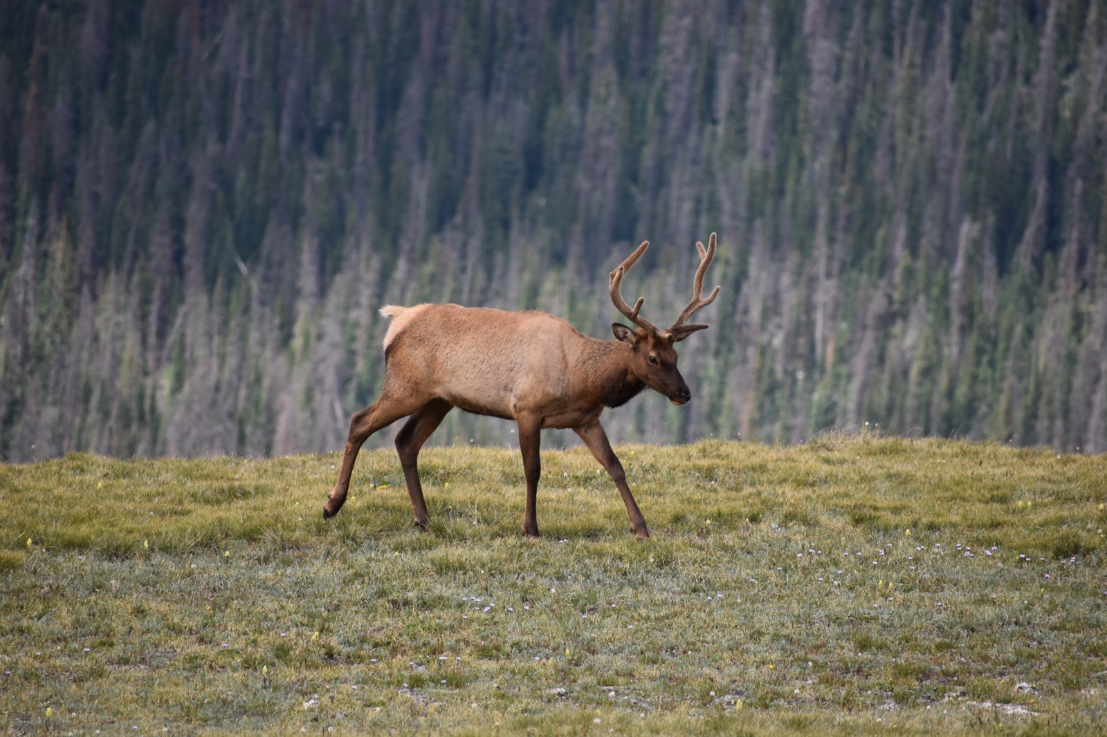
Image license record: “Elk in Colorado,” photographed by Wikimedia Commons user Muttnick on July 27, 2017; original 6000 × 4000 photograph; licensed CC BY-SA 4.0. Big Game Ledger resized and compressed the image to 1600 × 1066 pixels without changing its subject. The photograph depicts a bull elk in Colorado’s Rocky Mountains and is representative; it is not presented as having been taken in White River National Forest. Source: Wikimedia Commons. License: Creative Commons Attribution-ShareAlike 4.0.