Public-Land Mule Deer Hunting in White River National Forest: Planning Guide
White River National Forest mule deer hunting starts with a license and map problem—not a promise that every green federal parcel holds deer or can be reached legally. The forest covers roughly 2.3 million acres of western Colorado, crosses multiple game management units and ranger districts, contains private inholdings, and includes designated Wilderness where mechanical transport is prohibited.
Reviewed August 25, 2026. This guide uses current Colorado Parks and Wildlife and U.S. Forest Service planning resources. Dates, hunt codes, quotas, roads, closures and camping rules change. The controlling sources are the current CPW brochure, the exact license description and active Forest Service orders.
Research disclosure: Big Game Ledger does not present this guide as firsthand White River National Forest hunting experience. It synthesizes official agency material into a practical public-land research workflow. It does not identify a “best unit,” predict draw success or guarantee deer, access or hunting conditions.
White River National Forest is not one deer unit
The forest boundary and Colorado game-management boundaries answer different questions. The Forest Service manages the land and its roads, trails, camps, closures and Wilderness areas. Colorado Parks and Wildlife manages the hunting license, season, legal animal and game management unit (GMU). A valid deer license must match the exact unit or group of units, season, method and legal animal printed in the hunt code.
The phrase “White River deer herd” can also create confusion. CPW uses that name for a specific herd-management area in northwestern Colorado. It is not interchangeable with the entire White River National Forest. The national forest extends across a broader mountain landscape, while the herd plan groups particular GMUs for population management. Always match the forest parcel to the GMU boundary and then to the hunt code.
| Planning layer | What it controls | Official starting point |
|---|---|---|
| License and hunt code | Species, legal animal, GMU, dates and method | CPW Hunting Deer |
| GMU and deer information | Unit boundary, public-land context and wildlife layers | Colorado Hunting Atlas |
| Forest ownership | National Forest System land versus private or other ownership | White River National Forest |
| Motorized travel | Routes and seasons legally open to particular vehicle classes | Forest Service maps and the current district MVUM |
| Temporary restrictions | Fire, road, camping and area closures | White River alerts and closures |
| Historical demand | Previous applications, quotas, draw results and points | CPW deer statistics |
What the country is actually like
White River National Forest stretches from lower western slopes and river breaks into aspen, mixed conifer, spruce-fir, alpine basins and peaks above 14,000 feet. That range of elevation is exactly why a forest-wide “hotspot” recommendation is not useful. A September archery plan, an October rifle plan and a later weather-driven hunt can involve different elevation bands, access routes and recovery risks.
The forest is also heavily used for recreation. Trailheads, resort corridors, popular Wilderness routes and motorized systems can place hikers, campers, cyclists, horses and hunters in the same landscape. Research human access as carefully as vegetation. A road that appears to offer an easy approach can concentrate pressure; a nonmotorized basin can demand a recovery effort that exceeds the available time, crew or conditioning.
Colorado’s deer license comes first
CPW’s current deer page lists limited licenses issued through the primary and secondary draws as well as some over-the-counter rifle and archery deer licenses. That does not mean one OTC product covers every mule-deer hunt or every White River National Forest parcel. Start with the current Colorado Big Game brochure and confirm the exact species, unit, season, method and legal animal before purchasing or applying. Write down:
- the complete hunt code;
- buck, doe or either-sex authorization;
- the exact GMU or unit group;
- season dates and legal method;
- resident or nonresident eligibility;
- qualifying-license, hunter-education and habitat-stamp requirements;
- application, payment, surrender and reporting deadlines.
For 2026, the primary-draw application deadline was April 7 at 8 p.m. Mountain Time and the secondary-draw deadline was June 30 at 8 p.m. Those dates are historical planning references, not predictions for 2027. Use the Western Big-Game Application Deadlines tracker and CPW’s live pages for the next application year.
Historical draw reports are useful for seeing previous demand and the point level at which licenses were issued. CPW cautions that quotas, hunt codes and applicant pools can change. A past draw result is evidence, not a guarantee.
Do not build a forest plan from a statewide season calendar
The statewide brochure gives a useful sequence—archery, muzzleloader and multiple rifle seasons—but the exact hunt code controls. For 2026, the general reference dates included September 2–30 for archery, September 12–20 for muzzleloader, and rifle periods running from mid-October into late November. Individual hunt tables can differ.
Timing changes the planning problem. Early seasons can require high-elevation conditioning, water management and long pack-outs in warm daytime temperatures. Later rifle seasons can add snow, frozen ground, short daylight, closed or impassable roads and weather-driven deer movement. Never assume snow will produce an easy migration hunt; it can also eliminate vehicle access and make a distant recovery unsafe.
How to choose a workable GMU and hunt
- Filter the current license table. Identify deer hunts that match residency, method, legal animal and realistic draw history.
- Open the CPW Hunting Atlas. Display the GMU boundary, national-forest ownership, roads, topography and the relevant deer layers. Treat wildlife layers as broad planning information, not a live location service.
- Check parcel connectivity. Confirm that the intended route stays on public access or uses a road or trail with legal public passage. National-forest blocks can contain or border private land.
- Open the current MVUM. A basemap showing a line is not proof that a vehicle may use it. Confirm vehicle class, route designation and seasonal dates.
- Measure extraction, not just hiking distance. Estimate elevation change, number of meat trips, water, daylight and cooling time from the farthest place being considered.
- Call the responsible offices. Ask CPW about the hunt and the ranger district about roads, closures, camping and local forest orders. Do not ask either agency to choose a secret spot.
Public land does not automatically mean public access
A national-forest parcel may be legal to hunt but impractical to reach. The approach might cross private land, use a road with a seasonal gate, enter a Wilderness boundary or end at a trailhead with separate restrictions. Digital ownership layers can also lag recent transactions or administrative updates.
Use at least three sources together: the CPW Hunting Atlas for hunting context, the Forest Service map and MVUM for federal travel rules, and the current alerts page for temporary orders. Save the critical maps offline and carry enough information to recognize the boundary in the field.
| Access risk | What to verify before travel |
|---|---|
| Private inholding or corner | Legal public route, permission and the actual parcel boundary |
| Seasonal Forest Service road | MVUM designation, opening dates, gate status and road condition |
| Designated Wilderness | Boundary, camping rules and a recovery plan without wheels or motorized equipment |
| Dispersed camp | District rules, stay limits, fire restrictions, food storage and vehicle parking |
| Snow or autumn storm | Exit route, traction, fuel, communication and a no-go threshold |
| Popular recreation corridor | Trailhead use, other seasons and a safe shooting background |
Wilderness changes the recovery equation
White River National Forest includes eight designated Wilderness areas. The Forest Service states that motor vehicles and mechanical transport—including bicycles, wagons, carts and wheeled game carriers—are prohibited in Wilderness. Holy Cross Wilderness, for example, ranges from roughly 8,500 to 14,005 feet and requires free self-registration for overnight camping.
A Wilderness boundary should change the maximum distance a hunter is willing to pursue a deer. Plan around foot or legal stock travel, multiple loads, steep descent, water, darkness and meat cooling. Commercial pack service should be confirmed before the season; it should never be assumed available after a harvest.
Habitat research without inventing a hotspot
Use terrain and seasonal context to create questions, not conclusions. Early in the season, examine high and mid-elevation feeding cover, bedding security, water and glassable openings that can be reached without crossing restricted land. As autumn progresses, compare aspect, elevation, snow accumulation, road access and lower transition country. CPW’s current deer layers and local office are the proper sources for management information.
Then verify the landscape on the ground. A satellite image cannot show current forage, recent disturbance, hunting pressure, a locked gate or whether a road is passable. If scouting is not possible, build two or three independent access plans rather than committing the trip to one trailhead.
A practical scouting and hunt-day workflow
- Before applying: compare hunt codes, draw history, ownership and the broad extraction problem.
- After drawing: download the GMU, forest, MVUM, topographic and closure maps; identify the responsible CPW and ranger-district offices.
- Six to eight weeks out: condition for the unit’s elevation and pack-out, verify boots and water treatment, and practice navigation.
- One week out: recheck road conditions, weather, fire restrictions, carcass rules and the current CPW brochure corrections.
- Each morning: confirm wind, safe shooting background, communications, sunset and the route needed to return with meat.
Recovery and meat care belong in the unit decision
Before hunting a distant basin, confirm tagging, evidence-of-sex, carcass-transport and chronic-wasting-disease rules in the current brochure. Carry game bags, cutting tools and the navigation equipment needed for the approved field method. Estimate the number of loads and cooling timeline before deciding that a location is huntable.
The Big-Game Meat Care Kit explains the equipment side of this problem, while the Big-Game Hunt Planning Checklist connects licensing, access, safety, travel and recovery.
Official planning links
- CPW deer hunting and licensing
- Colorado Hunting Atlas and GMU maps
- CPW deer draw and hunting statistics
- White River National Forest
- White River National Forest alerts and closures
- Blanco Ranger District and Flat Tops access information
- Holy Cross Wilderness rules
Frequently asked questions
Can you hunt mule deer in White River National Forest?
Hunting can occur on National Forest System lands when the hunter holds the correct Colorado license and follows the current season, method, closure and access rules. The Forest Service land boundary does not replace the CPW license or GMU boundary.
Are Colorado mule deer licenses over the counter?
Some Colorado deer licenses are sold over the counter, while many mule-deer opportunities are limited by hunt and GMU. Confirm the species, unit, season, method and legal animal in the current CPW hunt tables; never assume an OTC deer license covers the intended White River National Forest area.
What is the best GMU in White River National Forest?
There is no responsible single answer. The workable choice depends on license eligibility, draw demand, season, legal animal, public access, terrain, pressure and recovery capacity. Compare exact hunts using current CPW data.
Can a game cart be used in Wilderness?
No. The Forest Service prohibits mechanical transport in designated Wilderness, including carts and wagons. Confirm the boundary before planning a wheeled recovery route.
Can hunters camp anywhere in the forest?
No. Dispersed-camping availability and restrictions vary by ranger district and active forest order. Check the responsible district, current MVUM, alerts, fire restrictions and any food-storage or designated-site rules before selecting camp.
Continue the Colorado mule deer plan
Use the Colorado Mule Deer Hunting Guide for the statewide license framework, the Mule Deer Hunting hub for state comparisons, and How to Read Hunting Maps to build the ownership and access layers. Then review Hunt Planning and the Western Big-Game Hunting Gear Checklist.
Planning elk in the same broader landscape? Use the White River National Forest elk hunting guide; elk licenses, hunt codes and planning constraints are separate from mule-deer rules.
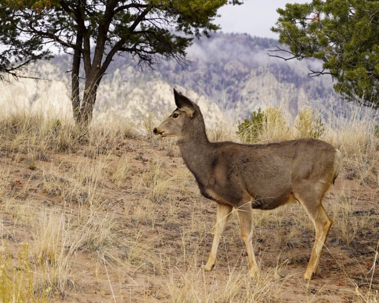
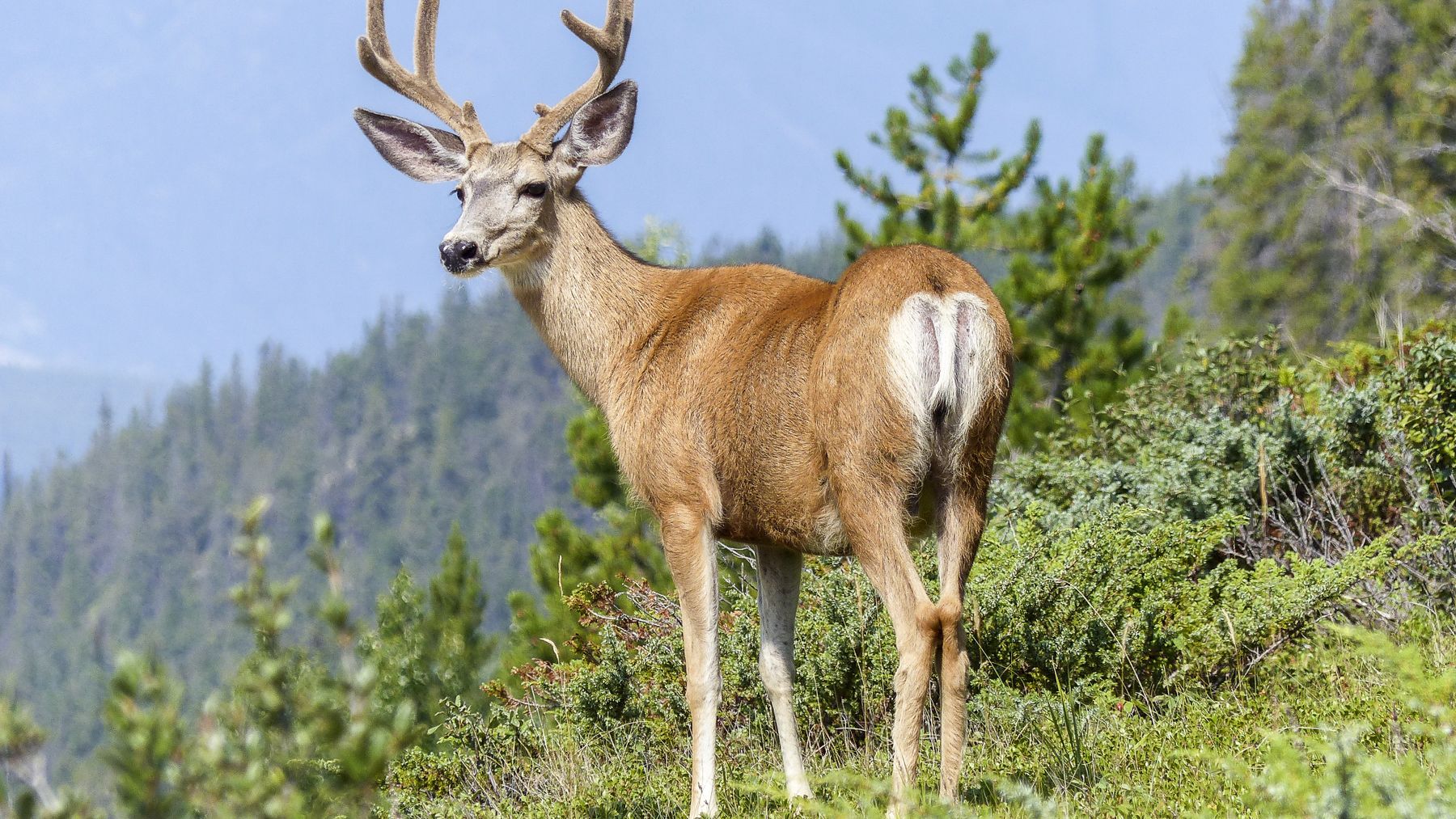
Image license record: photograph from Pexels photo 51390, credited to Pixabay and marked free to use under CC0. Newly assigned to this article and not reused on another Big Game Ledger page.